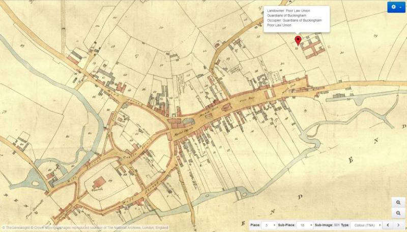
Colour Tithe Maps for Buckinghamshire added to TheGenealogist
TheGenealogist has added Colour Tithe Maps from The National Archives to their National Tithe Records collection. With this release researchers can see the plots owned or occupied by ancestors that lived in this ‘home county’ at the time of the survey in the 19th century.

The new data includes:
- Over 40,000 Plots of Land covering the years from 1837 to 1855 with some much later plans of altered apportionments
- Joining the apportionment record books and the previously published greyscale maps
These tagged colour maps and their fully searchable tithe schedule records are from those held at The National Archives. The collection gives the family history researcher the ability to search by name and keyword (for example parish or county) to look for all levels of society from large estate owners to occupiers of tiny plots such as a cottage or a cowshed.
Read TheGenealogist’s article: https://www.thegenealogist.co.uk/featuredarticles/2018/buckinghamshires-colour-tithe-maps-online-748/
