TheGenealogist adds extra tithe maps to Map Explorer™
Powerful new map tool now helps trace ancestors land or property with further additions of Tithe Maps
TheGenealogist’s Map Explorer™ which can help researchers find an ancestor’s property and watch the landscape change over time has now been enhanced by the addition of georeferenced black and white Tithe Maps for Berkshire, Cambridgeshire, Leicestershire and Oxfordshire.
- Total number of maps in this release is 927
- Total number of Tithe maps in Map Explorer™ is 3,317
- Map Explorer™ has over two million selectable records shown using Map Pins
Joining the georeferenced Lloyd George Data Layer, Headstones, War Memorials, and colour Tithe Maps for a number of counties, the new additions to the ever-expanding Map Explorer™ allow researchers to trace property from Victorian times to the modern era.
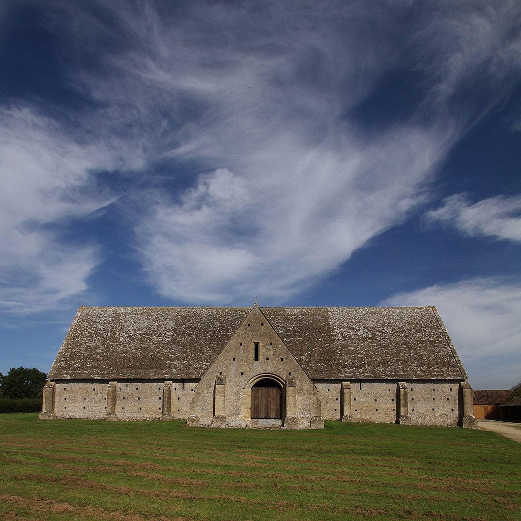
Great Coxwell Tithe Barn Oxfordshire (was Berkshire) used to store original tithe contributions of crops.
Photo by Motacilla / CC BY-SA (https://creativecommons.org/licenses/by-sa/4.0)
- TheGenealogist’s Map Explorer™ displays maps for historical periods up to the modern day.
- Various colour and black and white Tithe maps have now been added to this innovative tool and linked to the apportionment books, enabling researchers to locate where their ancestors lived or worked.
The addition to the Map Explorer™ of the black and white tithe maps for Berkshire, Cambridgeshire, Leicestershire and Oxfordshire linked to the apportionment books will enable researchers to find the details of the plots, their owners and their occupiers at the time that the survey was taken in Victorian times while also identifying the plots on the maps. By using the Map Explorer™ controls the researcher can then see how the landscape changes over time with the aid of the georeferenced historical and modern map layers. Tithe maps and records were drawn up from 1836 to the 1850s, with additional altered apportionments in later years when property was sold or divided. Tithes usefully record all levels of society from large estate owners to occupiers of small plots such as a homestead or a cottage.
The Map Explorer™ now features colour tithe maps for the counties of Buckinghamshire, Cumberland, Essex, Huntingdonshire, Middlesex, Northumberland, Rutland, Surrey, Westmorland, the City of York as well as North and East Ridings of Yorkshire plus black and white maps for Berkshire, Cambridge, Leicestershire and Oxfordshire.
See our article: Tithe Maps on Map Explorer
https://www.thegenealogist.co.uk/featuredarticles/2020/tithe-records-on-map-explorer-1255/
Find out more at TheGenealogist.co.uk/maps/
About TheGenealogist
TheGenealogist is an award-winning online family history website, who put a wealth of information at the fingertips of family historians. Their approach is to bring hard to use physical records to life online with easy to use interfaces such as their Tithe and newly released Lloyd George Domesday collections.
TheGenealogist’s innovative SmartSearch technology links records together to help you find your ancestors more easily. TheGenealogist is one of the leading providers of online family history records. Along with the standard Birth, Marriage, Death and Census records, they also have significant collections of Parish and Nonconformist records, PCC Will Records, Irish Records, Military records, Occupations, Newspaper record collections amongst many others.
TheGenealogist uses the latest technology to help you bring your family history to life. Use TheGenealogist to find your ancestors today!