Lambeth Lloyd George Domesday records added to TheGenealogist’s Map Explorer™
Lambeth Property records added to TheGenealogist
TheGenealogist has released the records of 83,498 individuals for the Lambeth area into its Lloyd George Domesday Survey property ownership and occupancy record set. This unique online resource includes maps and field books and gives family historians the chance to discover where an ancestor lived in the period just before and as the First World War began. This is a great tool to use with the 1911 Census giving lots of additional information about your ancestors' home, land, outbuildings and property. By making use of TheGenealogist’s powerful Map Explorer™ the researcher can see how the landscape where their ancestor lived or worked changed as the years have passed.
The maps are linked to field books containing descriptions of the property, as well as revealing owners and occupiers, all of which have been sourced from The National Archives and are being digitised by TheGenealogist. With this release it is possible to precisely locate where an ancestor lived on a number of large scale, hand annotated maps for this part of London. These plans include plots for the exact properties at the time of the survey and are layered over various georeferenced historical maps and modern base maps on the Map Explorer™. This resource enables the researcher to thoroughly investigate the area in which an ancestor lived even if the streets were bombed out of existence in the Blitz and the modern redevelopment does not follow the same lines as the previous roads had.
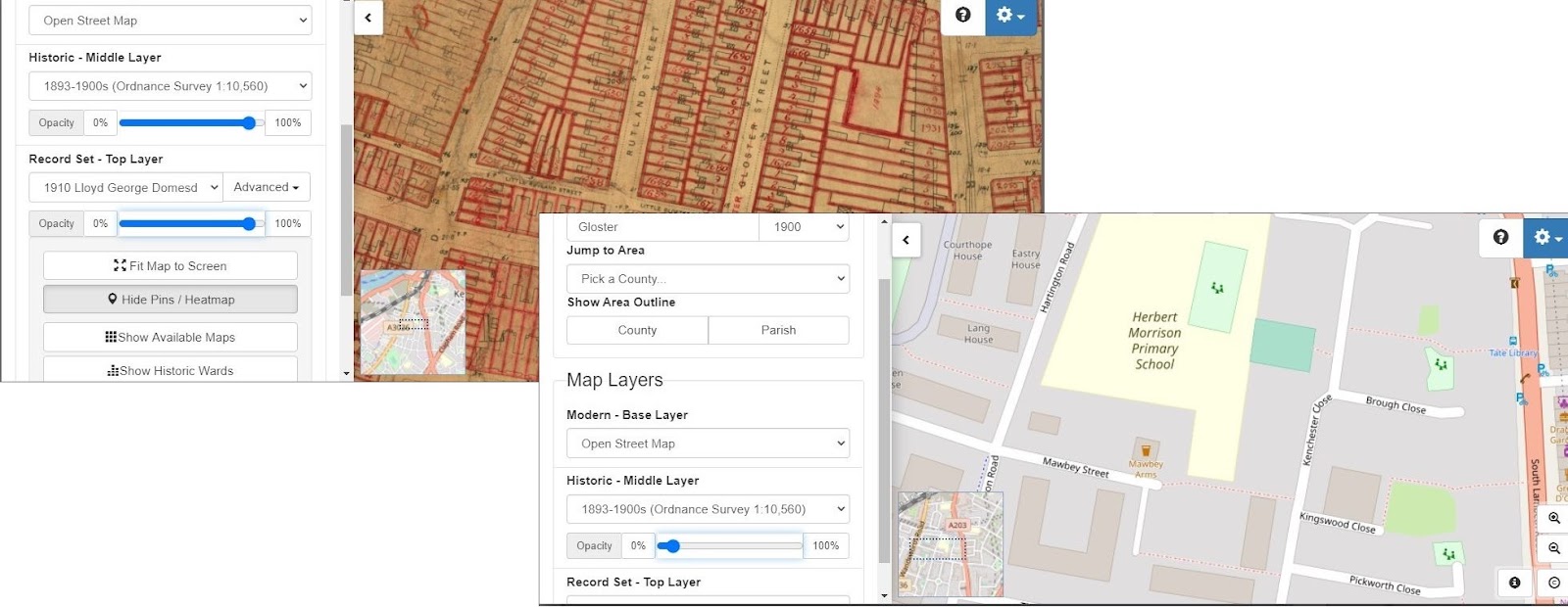
Roads on the Lloyd George Domesday Survey have disappeared from the modern map
- TheGenealogist’s Lloyd George Domesday records link individual properties to extremely detailed maps used in 1910-1915
- Fully searchable by name, county, parish and street
- The maps will zoom down to show the individual properties as they were in the 1910s
- The transparency slider reveals a modern street map underlay
- Change the base map displayed to more clearly understand what the area looks like today
Lambeth records cover the civil parishes of Bishop’s, Brixton, Brixton North, Clapham North, Clapham South, Lower Norwood, Marsh North, Marsh South, Norwood, Prince’s, Stockwell North, Stockwell South, Streatham and Vauxhall.
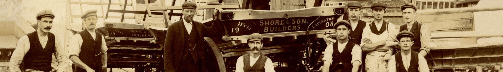
As we mark Remembrance Sunday this weekend read TheGenealogist’s article on Lambeth: A haven for the troops and birthplace of a V.C. hero: https://www.thegenealogist.co.uk/featuredarticles/2020/a-haven-for-the-troops-and-the-birthplace-of-a-vc-hero-1350/